Text Products
Atlantic Tropical Weather Discussion
000
AXNT20 KNHC 031011
TWDAT

Tropical Weather Discussion
NWS National Hurricane Center Miami FL
1215 UTC Thu Sep 3 2026

Tropical Weather Discussion for North America, Central America
Gulf of America, Caribbean Sea, northern sections of South
America, and Atlantic Ocean to the African coast from the
Equator to 31N. The following information is based on satellite
imagery, weather observations, radar and meteorological analysis.

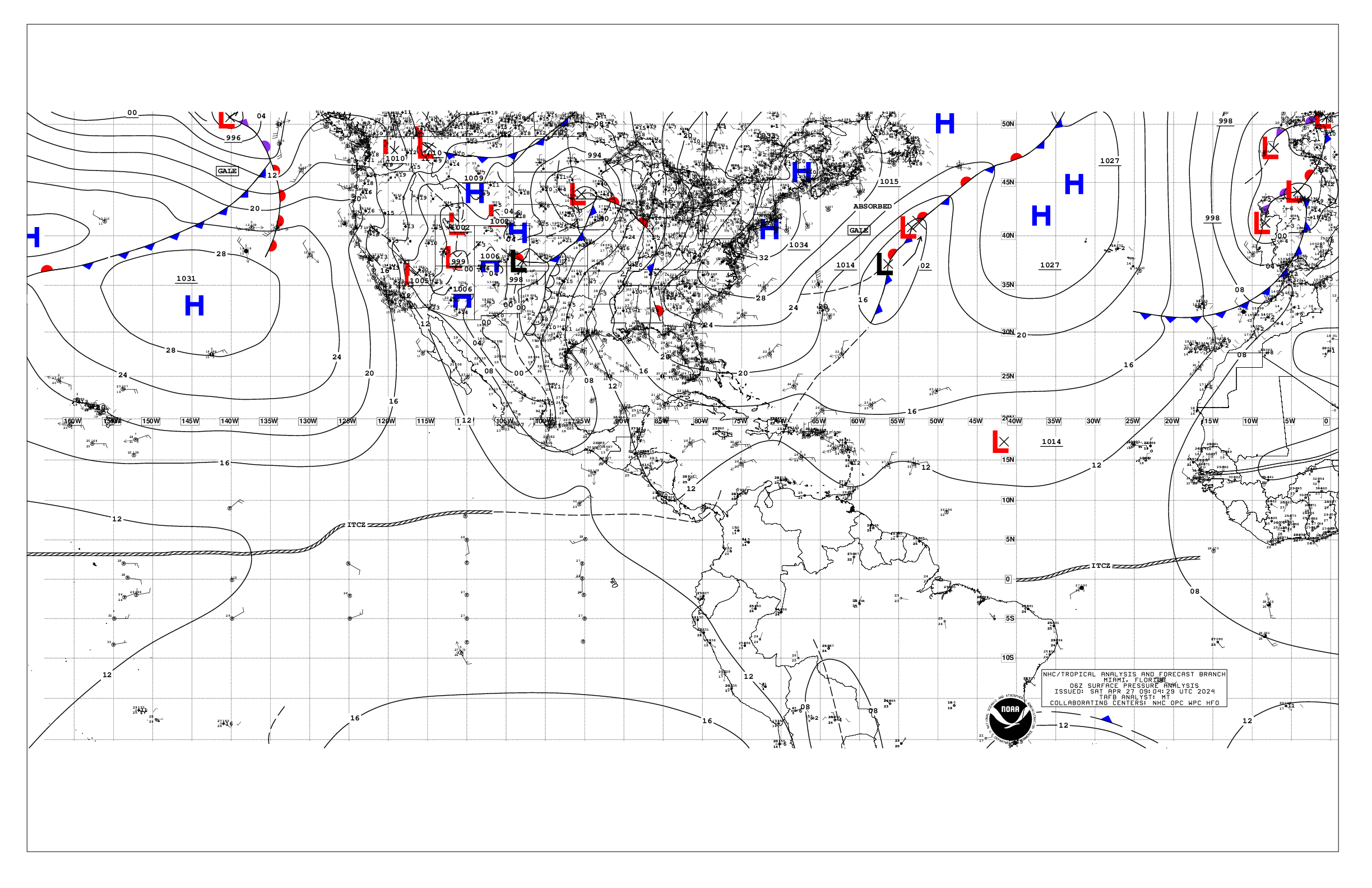
Based on 0600 UTC surface analysis and satellite imagery through
0945 UTC.

...TROPICAL WAVES...

A tropical wave is analyzed along 20W south of 20N. Scattered
moderate convection is noted from 04N to 10N E of 33W to the
coast of W Africa.

A tropical wave is along 45W, south of 20N, moving westward at
around 15 to 20 kt. Scattered moderate convection is from 12N to
17N between 41W and 49W. Moderate to fresh easterly winds are
from 15N to 20N between 40W and 48W.

A tropical wave is approaching the Lesser Antilles, with axis
along 60W south of 21N, moving westward at 15 to 20 kt. The wave
is interacting with an upper-level trough to its west, and
producing scattered moderate convection from 20N to 24N between
54W and 62W. Fresh to strong winds are near the northern end of
the wave axis, particularly from 19N to 21N between 55W and 59W.
Moisture associated with the wave will increase the probability of
rain across the Lesser Antilles today.

...MONSOON TROUGH/ITCZ...

The monsoon trough enters the Atlantic through the coast of Mauritania
near 17N16W and continues westward to 14N30W to 10N47W. The ITCZ
extends from 10N47W to 09N58W. The convection in the vicinity of
the boundaries is associated with the tropical waves described
above.

...GULF OF AMERICA...

A weak 1016 mb high pressure centered over the NE Gulf near 29N86W
dominates the basin, and is supporting light to gentle winds and
slight seas, with the exception of moderate to locally fresh SE
winds over the west-central waters. Numerous showers and
thunderstorms are affecting the western Florida peninsula and
coastal waters. Meanwhile, the remnants of Edouard continue to add
heavy rainfall to flooded areas across east Texas.

For the forecast, weak high pressure in place over the region will
generally allow for moderate or weaker winds and slight to moderate
seas across the Gulf through the next few days. The presence of
abundant tropical moisture will favor scattered showers and isolated
thunderstorms mainly in the eastern Gulf through the weekend.

...CARIBBEAN SEA...

A surface trough extends across the central Bahamas and central
Cuba generating scattered to numerous showers, with embedded
thunderstorms, over most of Cuba and the Cayman Islands. An
upper-level low over the SE Gulf of America and the Yucatan
peninsula is also helping to induce this convective activity.
The pressure gradient between the Atlantic ridge N of the area
and the Colombian Low supports fresh to locally strong trade winds
over the south-central Caribbean, including the Gulf of Venezuela.
Moderate to fresh winds dominate the remainder of the central
Caribbean while mainly moderate trades are noted over the eastern
part of the basin. Gentle to moderate winds are occurring in the
NW Caribbean. Seas are 5 to 7 ft with the strongest winds, and 3
to 5 elsewhere, except in the NW Caribbean where seas are 1 to 3
ft.

For the forecast, the trough will continue moving WNW through
tonight while becoming diffuse. Elsewhere across the basin, the
pressure gradient between the subtropical ridge and lower pressure
in northern South America will maintain mostly fresh trades along
with moderate seas over the central Caribbean, and over the
western portion of the eastern Caribbean through Sat night. These
trades are forecast to increase to fresh to strong speeds while
expanding in coverage over the south-central portion of the basin
on Sun. Winds reaching near gale are expected Mon night and Tue
night near Colombia and in the Gulf of Venezuela. Fresh to strong
east winds are expected in the Gulf of Honduras Fri night and Mon
night. Elsewhere, moderate or weaker winds and slight to moderate
seas will continue across the remainder of the basin through the
period.

...ATLANTIC OCEAN...

As previously mentioned, a surface trough extends over the central
Bahamas and central Cuba, and is generating some shower and
thunderstorm activity over the Bahamas and regional waters. The
remainder of the Atlantic forecast waters is under the influence
of a ridge, with the main high pressure center of 1023 mb located
near 27N48W. The pressure gradient between the ridge and a
surface trough over Morocco and Western Sahara is promoting fresh
to strong N to NE winds N of 20N and E of 22W, including the
Canary Islands. Seas are in the 6 to 8 ft range with this winds.
Moderate to fresh winds are just offshore Hispaniola with moderate
seas. Elsewhere, moderate or weaker winds and moderate seas
prevail.

For the forecast west of 55W, scattered showers and thunderstorms
will continue over the waters W of about 70W through the rest of
the week as a mid-level low and surface trough gradually shift
westward while at the same time abundant tropical moisture remains
in place. A cold front will then approach from the NW this weekend
enhancing the potential for scattered and thunderstorms over the
NW portion of the area. Otherwise, the subtropical ridge will
provide for moderate or weaker winds and moderate seas over the
forecast waters.

$$
ERA